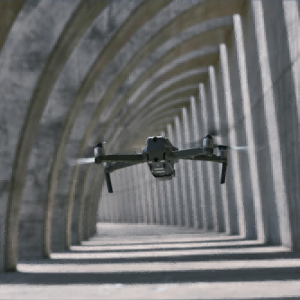
Thermal survering technology
1. Leaf Water Content Testing. 2. Field Nursery Monitoring. 3. lrrigation scheduling. 4. Yield Forecasting. 5. Termite Attack Detection.
6. Inspection of Farm Machinery and Equipment. 7. Post-Harvest Evaluation of Fruits and Vegetables. 8. Bruise Detection in Fruits and Vegetables. 9. Thermal lmaging for Water Leakage Detection.
|

|

|
Visual spectral aerial crop analysis
1.Creating a 2D Field Map: Utilizing new software to generate a detailed 2D map of the field
2.Generating Indices: Employing predefined agricultural indices such as the Triangular GreennessIndex (TGl) and the Visible Atmospherically Resistant Index (VARl), or custom index formulas toassess plant stress.
3.Zoning and Prescribing: Aggregating vegetation index data into zones and assigning applicationrates for agricultural inputs.
4.Comparing Data: Linking various layers of information and comparing crop trends over time using split or dual-screen displays.
5.Drawing and Annotating: Focusing the analysis on specific areas of interest and highlightingcritical areas for in-depth inspection.
Efficiency and Non-Destructiveness1.Drone thermal imaging detection is an efficient and non-destructive technology that quickly identifies issues, enhancing the operational efficiency of farms and gardens.
2.This method is 16 times faster than traditional handheld instruments, significantly reducing equipment downtime and operational costs.
3.Timely detection and maintenance contribute to improved plant health and appearance, meeting financing and warranty requirements, and enhancing asset transparency.
Safety and Risk ManagementTimely detection of issues ensures operational safety and mitigates potential risks.
Asset Transparency and ReportingReports generated from drone thermal imaging detection enhance asset transparency, aiding investors and rating agencies in their assessments.
We have achieved efficient management and monitoring of large-scale gardens through the application of drone-based thermal imaging technology in agriculture. Taking a case as an example, we once scanned an area of about 34,000 square meters using two drones within a 30-minute flight time, and it took us about a day to process all the collected data. These data were used not only to create detailed 2D field maps but also to generate various agricultural indices, which helped us to zone areas and prescribe treatments, compare crop trends over time, and draw and annotate areas for detailed analysis. These tasks are crucial for managing large-scale gardens, significantly enhancing the efficiency and sustainability of agricultural production.
 English